Agriculture - Food & Farming - Demo
Data available for agriculture planning continues to increase with new technologies.
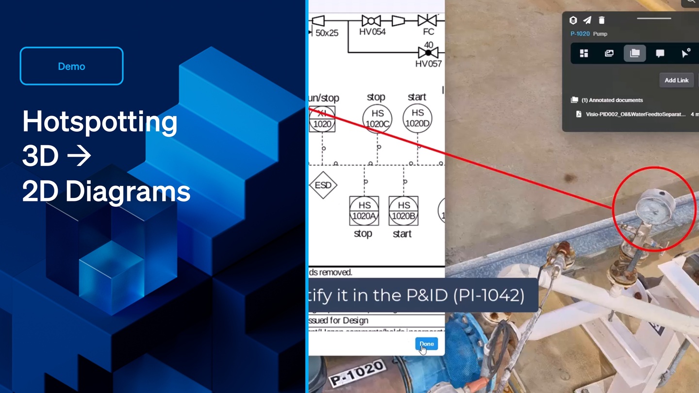
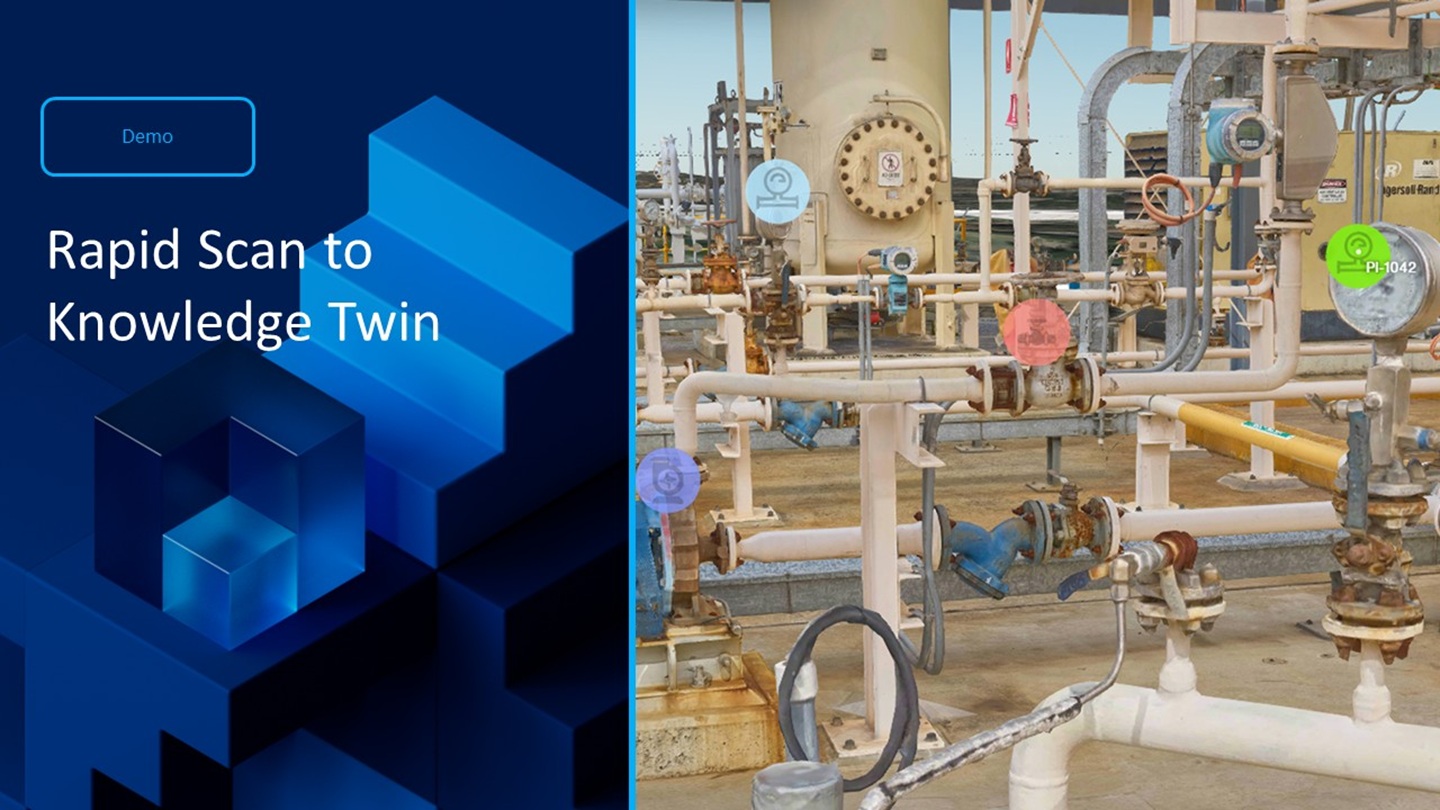
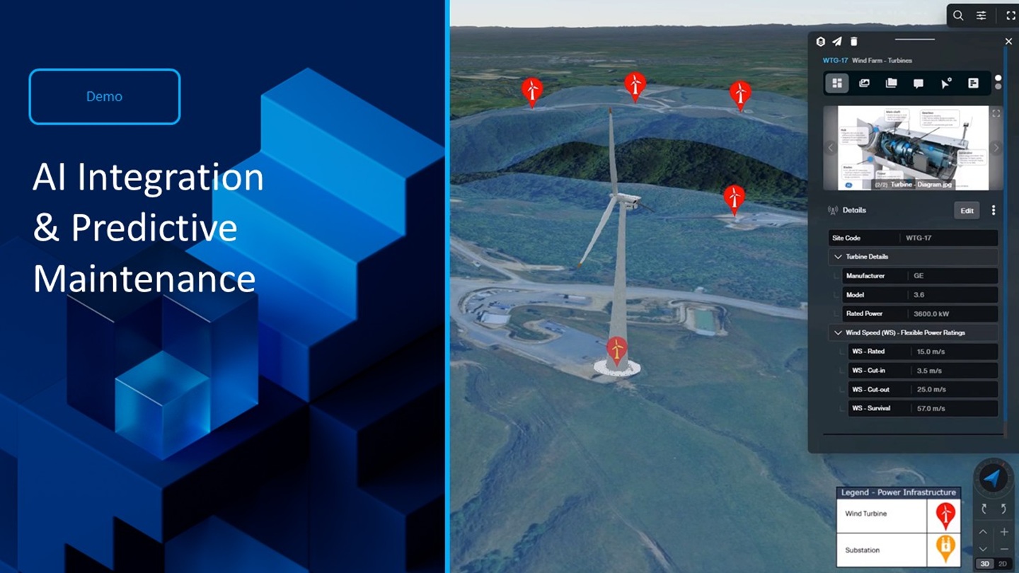
Nextspace combines data in one place. It does this by creating digital twins of the agriculture environment with 3D objects, and links relevant data to make a hub for all things digital. You can explore Nextspace environments with bookmarks, control how objects are displayed, access data with customized menus and dialog boxes, link field data documents, media or websites to objects, groups or areas, use foreign subscription services to get up-to-date reports or historic data. With APIs, get live access to network sensors.
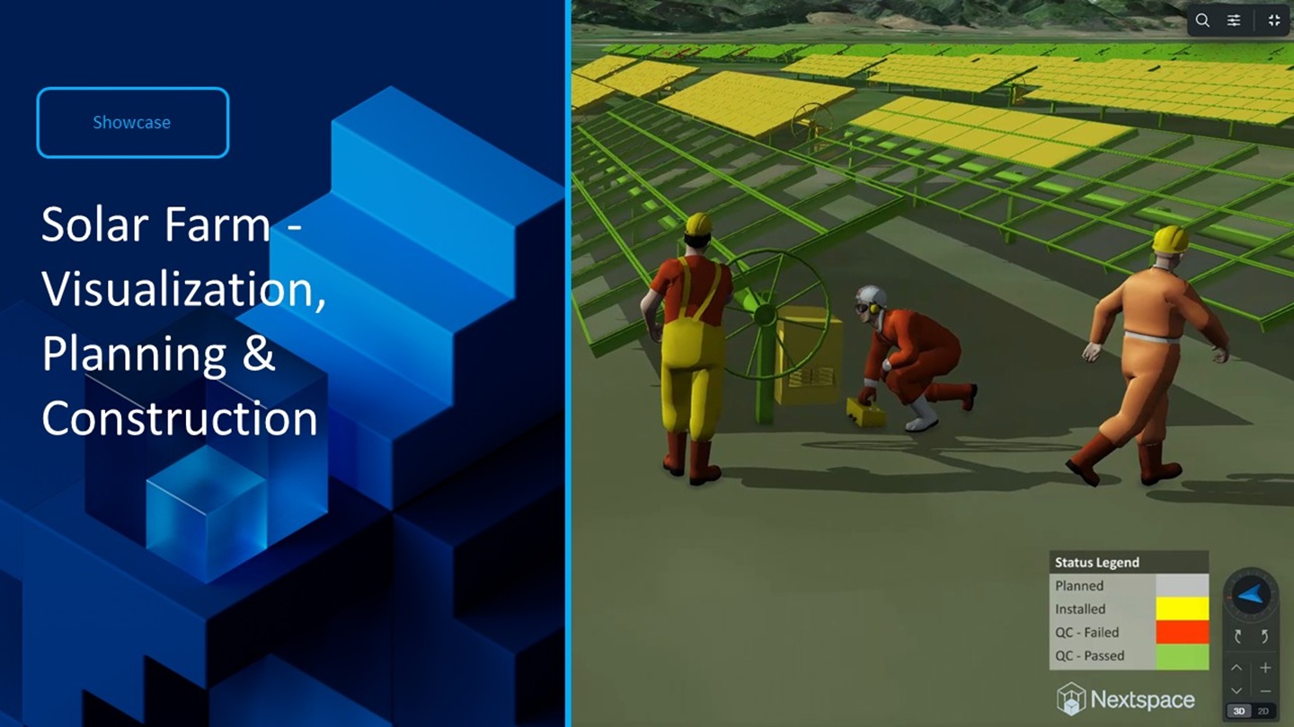
You can use any data linked to an object to control its appearance. Multiple data sources can be combined in one place and only data that is considered relevant is displayed. There are no restrictions on location, scale, detail, or number of sites. Simple overlays help to plan visually, calculating area and displaying historical performance, LIDAR data for drain or spectral analysis, and other field imagery can be added as required.
Designing digital twins is made easy with tools to accurately position objects if they're not already geolocated. All objects can be customized as points, icons, shapes or 3D models. A powerful administration system controls data exchange. Simply drag files into Nextspace and use the schema mapping to control what data is merged.
Nextspace aims to utilize existing Information systems without changing data structure or practices. Its flexibility makes it possible to meet multiple planning needs by accessing and incorporating online industry data. Nextspace makes it easy to communicate your plans visually, accurately and realistically.
Being cloud-based means multiple users can share information securely.
Nextspace users need only introductory training to start creating data environments.


