We use cookies to improve your experience on our site. To find out more, read our privacy policy and cookie policy

Plant & Process - Point Clouds & LiDAR

see how you can integrate point clouds within your digital twin for additional visual information on your asset.
View transcript

The Nextspace digital twin platform supports many types of data: 2D, 3D, CAD, BIM, GIS and also point clouds.

This is a point cloud of the bitumen plant. It's possible to layer a point cloud over BIM or CAD data to compare and contrast. Again, a reminder that the point cloud is being streamed live to my browser—nothing is hosted locally on my machine.

The data is all coming from AWS, in this case AWS in Sydney. The data doesn't need to reside in the Nextspace digital twin platform. The technology can connect to the data wherever it may be, and stream it from there.

Data can be served to the scene remotely from any external system.
More videos

Make data standards and ontologies to fit your business needs rather than the other way around.
This showcase video presents an airport digital twin bringing together BIM, geospatial data, 3D models, documents, schematics, leasing information, and operational data into a connected, searchable environment.
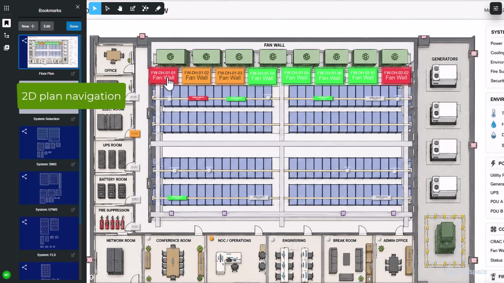
See how Nextspace Alarms and Monitoring connects live alarm events with asset and spatial context to help operators move faster from detection to understanding.
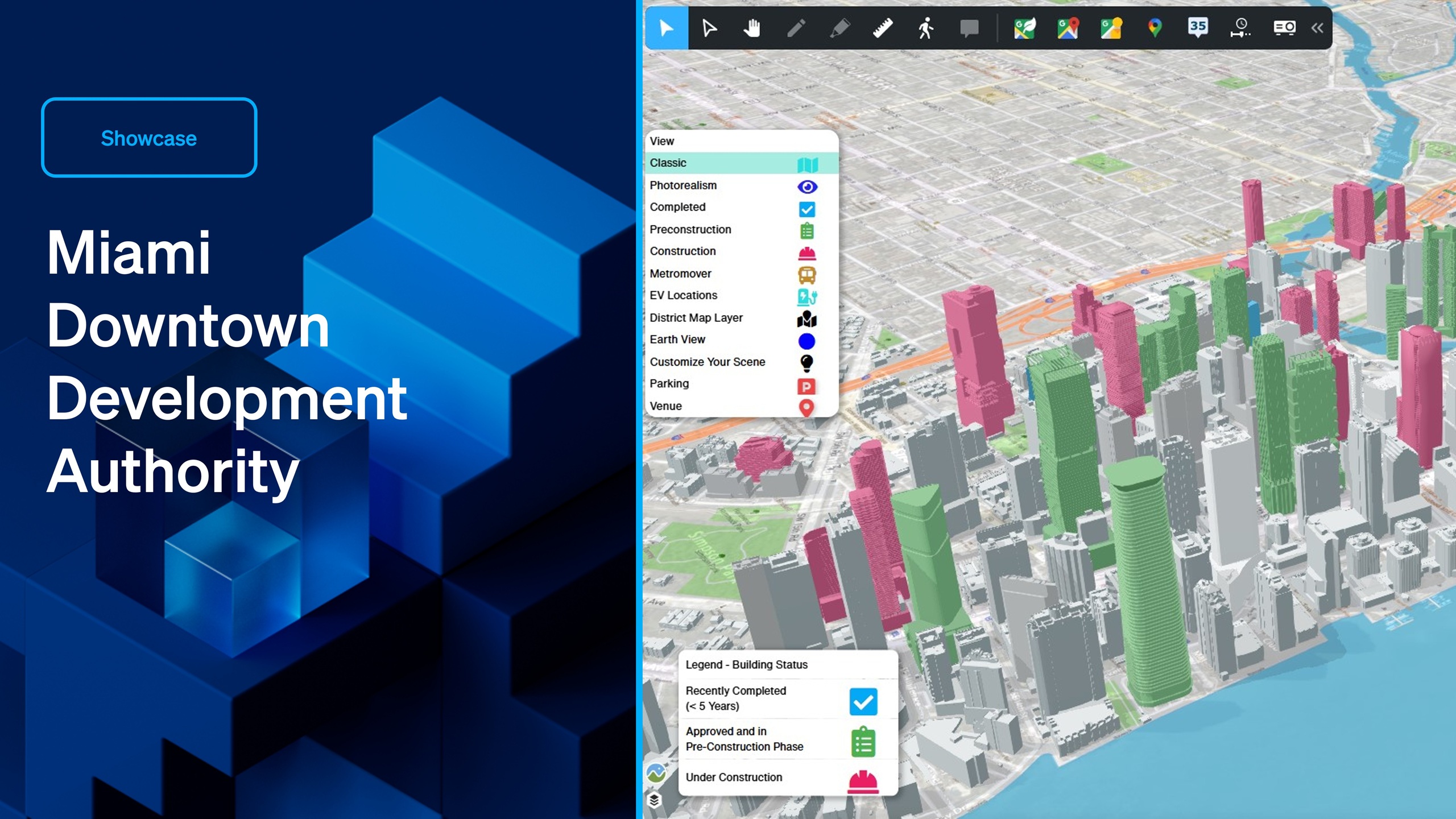
This open-platform digital twin offers a real-time, interactive visualization of Downtown Miami's urban landscape, enabling stakeholders to explore existing buildings, track projects under construction, and gain insights into upcoming developments in the pipeline.